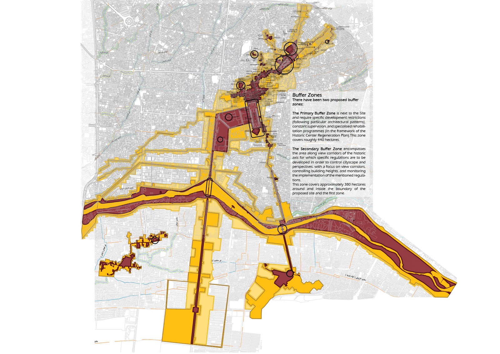
Location: Isfahan, Iran.
Site Area: 335 Ha
Responsibilities in the design team:
Associate Urban Designer
Final Presentation

for Inscription on the World Heritage List (UNESCO) The Safavid Isfahan spatial organisation (the pinnacle of city growth in history) has taken shape as a result of the intersection of two structurally important axes: 1) Man-made structure extending 8.5 kilometres north to south, from the northern part of Jame' Mosque and A'tigh Square all the way to the bazaar, with organic spatial characteristics that began to take shape in the 8th to 10th centuries; Naghsh-e-Jahan Square and the Safavid Royal Quarter expand towards the ceremonial axis of Chahar Bagh, with Baroque urban characteristics and monumental order designed and developed over the 16th and 17th centuries. 2) Natural axis of the Zayandeh Roud River runs perpendicular to the above-mentioned axis, extending 8.2 kilometres along the east to west in the historic district, with five bridges connecting the northern and southern banks.
